Anticipate and mitigate geotechnical risks with millimetric precision
Monitor landslides, soil subsidence, and slope instability with satellite-powered analytics that reduce failures, prevent disruptions, and cut emergency costs

Hidden geotechnical risks threaten your infrastructure
Geotechnical movements — including landslides, soil subsidence, and slope instability — pose serious risks to transportation infrastructure. Left undetected, these changes can lead to:
Structural Damage
Bridges, roads, and tunnels are vulnerable
Service Disruptions
Unexpected downtime and operational delays
Safety hazards
Risks to personnel and the public
Costly Emergency Repairs
Reactive interventions are expensive and disruptive
Traditional monitoring methods are often fragmented, reactive, and localized, missing early warning signs and making risk mitigation harder and more costly

Full-cycle risk management
Monitor your entire network remotely with instant risk alerts
Plan site visits, add on-site measurements, and manage inspections directly in the platform
Spotlite Platform
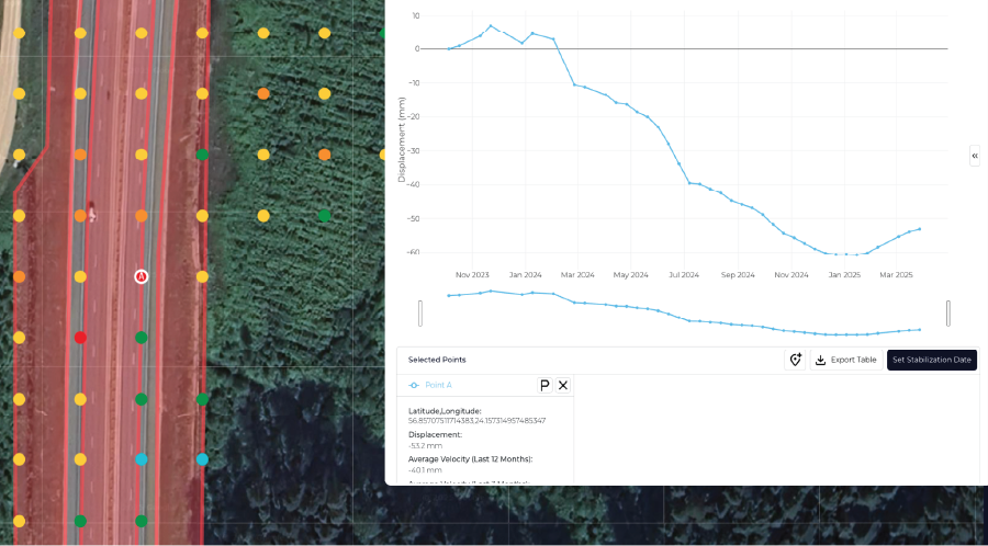
Pinpoint movements, measure cross-sections, and assess individual slopes or assets
Prioritize interventions, track mitigations, and configure alerts by asset or area of interest
Monitoring Capabilities
Ground Movement Detection
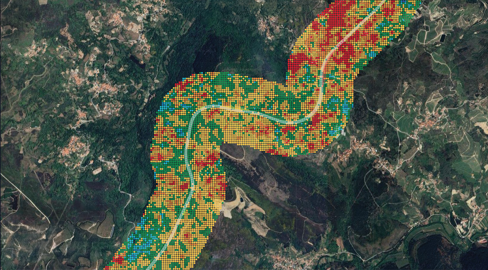
Monitors cumulative displacement and average velocities over time, helping detect displacement and instability with precision 
Historical Data
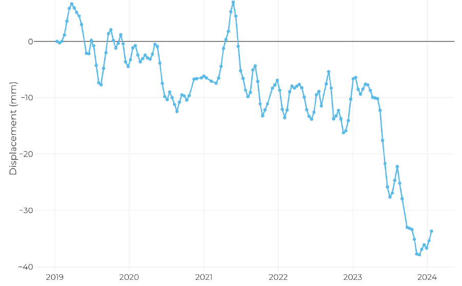
Access archived ground movement records to perform retrospective analysis and identify long-term patterns 
Landslide Susceptibility Mapping
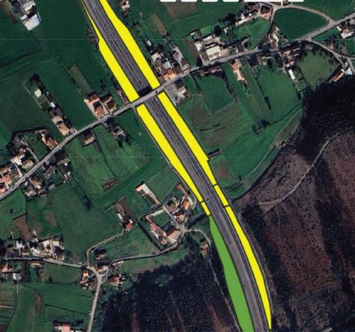
High-resolution maps that identify areas at risk of landslides, enabling planning and improved disaster preparedness 
Predictive Analysis
Forecast ground motion based on historical analysis using advanced Machine Learning models