Flood

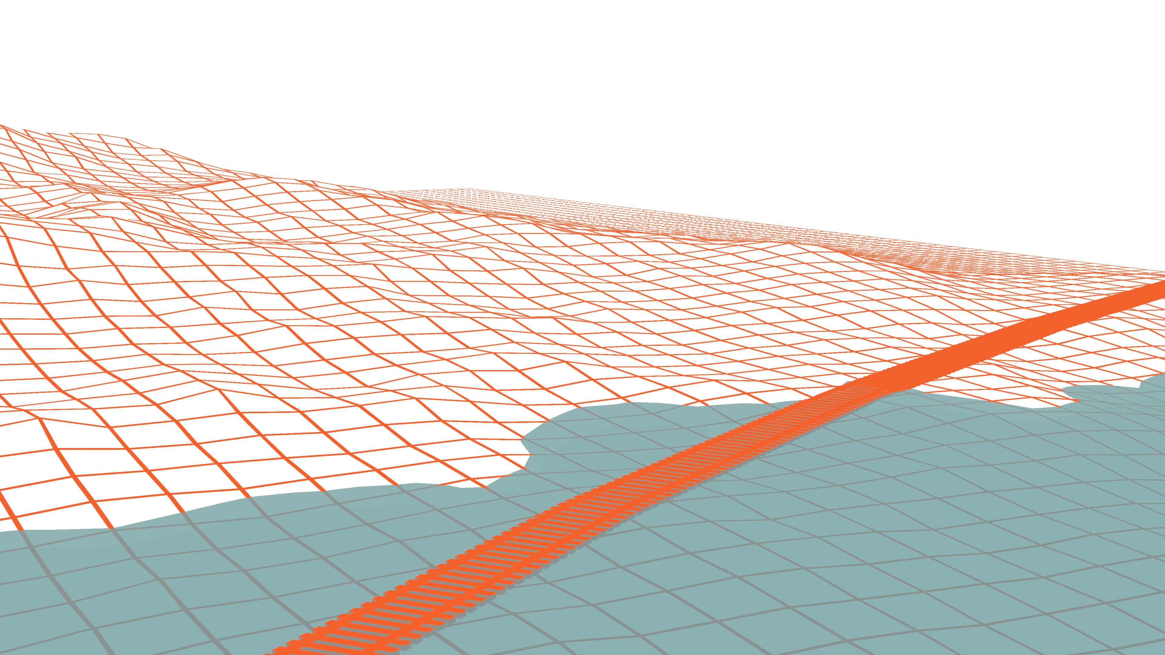
Resorting to satellite data, Spotlite offers flood mapping and flood risk assessment tools, suitable to monitor and predict potential impacts of catastrophic floods over large areas. Historical analysis allows for the development of predictive flood risk assessment models, taking into account such factors as geomorphological characteristics of the terrain, land cover data and precipitation records.
Features
- Flood mapping
- Flood risk assessment
Related Use Cases

