Vegetation

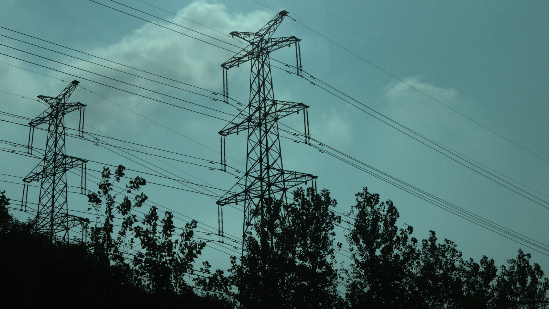
Spotlite provides valuable insights for vegetation monitoring using satellite imagery. It can be used to analyze vegetation health and vitality, detect changes in vegetation cover, monitor encroachment over safety corridors or estimate tree height and potential fall impact radius. The platform vegetation monitoring tools provide up-to-date information that is crucial to improve vegetation management strategies along infrastructure networks.
Features
- Tree height and fall impact radius
- Species identification
- Vitality analysis
- Encroachment monitoring
Related Use Cases

